Caerphilly: Map/Figure & Geology
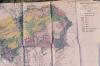
Description
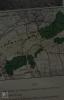
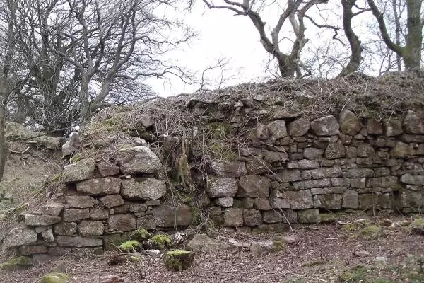
Picture: 1
Maps. South Border Ridge. Llantrissant to Draethen
Map. Ridgeway walk. Craig Yr Allt to Caerphilly
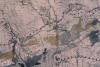
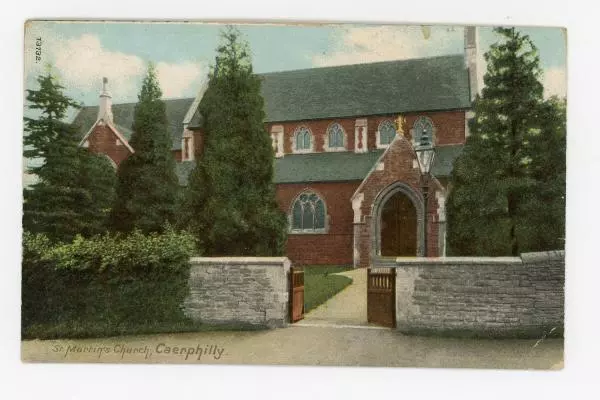
Picture: 2
Maps. South Border Ridge. Llantrissant to Draethen
Caerphilly Country Park map
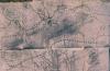
Picture: 3
Maps. South Border Ridge. Llantrissant to Draethen
Caerphilly Country Park relief map
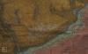
Picture: 4
Maps. South Border Ridge. Llantrissant to Draethen
Geology map. Caerphilly Rudry border ridges
Picture: 5
Maps. South Border Ridge. Llantrissant to Draethen
Caerphilly Country Park map. Agricultural land classification
External source:

More items with these tags
Related items


Contact Us
To request take down or report racist, offensive or otherwise harmful content.

You must be logged in to leave a comment